The Letchworth State Park Atlas
Exploring Its Nature, History, and Tourism through Maps
Alternative formats available from:
A visitor's companion to New York's Letchworth State Park, richly illustrated with ninety maps and thirty-five photographs.
Description
Finalist for the 2022 Foreword INDIES Book of the Year Award in the Regional Category
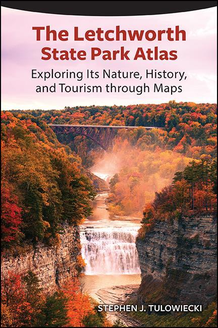
With thundering waterfalls, towering cliffs, and vibrant autumn foliage, Letchworth State Park in New York is one of the most scenically spectacular parks in the eastern United States, attracting one million visitors per year. Modern tourists visit the park primarily to appreciate its scenery. However, the park has a long, complex, and sometimes contentious environmental and human history that spans back to Native American settlement. The Letchworth State Park Atlas includes over one-hundred pages of maps that shine new light on the nature, history, and tourism of the park. Maps feature the park's geology, ecological communities, weather and climate, water, Native American settlement, nineteenth-century settlement, tourist origins, and recreational opportunities. An ideal cartographic companion for a park visit, The Letchworth State Park Atlas is an educational resource for newcomers and those with a long-held interest in the park.
Stephen J. Tulowiecki is Associate Professor of Geography at the State University of New York at Geneseo.
Reviews
"…Tulowiecki has created a very nice, well-researched atlas that should interest any local residents, visitors, and others interested in this unique park." — Cartographic Perspectives
"The Letchworth State Park Atlas is a valuable addition to every Letchworth Park lover's library. Stephen Tulowiecki has done an outstanding job covering the complex natural and human history of this remarkable park, creating a work whose scope and depth, combined with its clear and easy-to-use format, will serve as a guide to many adventures into Letchworth State Park and its history." — Thomas S. Cook, coauthor of Letchworth State Park